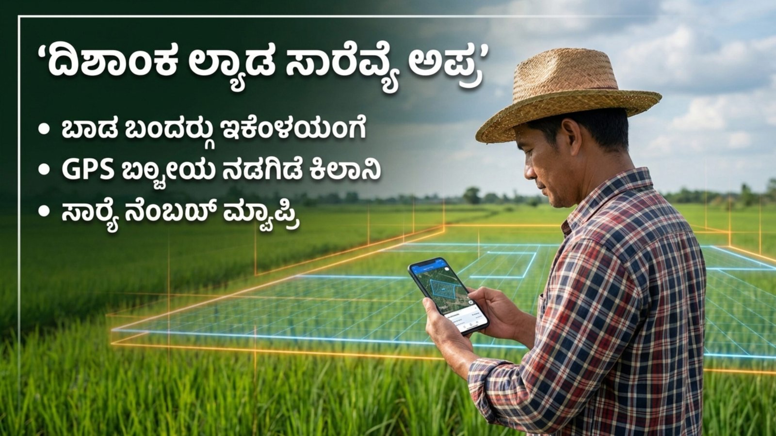
In a major push towards digitization and transparent land management, the Government of Karnataka has introduced the Dishaank Land Survey Application, a mobile-based platform designed to help citizens, surveyors, and officials access precise land location details using advanced GIS and GPS technology. The initiative is part of the state’s broader effort to modernize land records and reduce disputes related to property boundaries and survey numbers.
What is the Dishaank Land Survey Application?
The Dishaank App is an official mobile application developed by the Karnataka government to provide accurate geo-referenced land information. By integrating satellite mapping and survey department data, the app enables users to identify the exact location of their land parcels based on survey numbers and village maps.
The app is primarily aimed at assisting farmers, landowners, surveyors, and revenue department officials in verifying land boundaries and coordinates without depending solely on manual records or physical visits to government offices.
Objective Behind Launching the Dishaank App
The main goal of the Dishaank Land Survey Application is to bring transparency, accuracy, and convenience in accessing land survey information. Land disputes and confusion over boundaries have been common issues in Karnataka for decades. By providing digital access to official land maps and coordinates, the government aims to minimize conflicts and improve land governance.
Officials believe that easy access to accurate land data will empower citizens, especially in rural areas, and ensure that property transactions and agricultural activities are carried out smoothly.
Key Features of the Dishaank Application
The Dishaank app offers several user-friendly features that make it a powerful tool for land verification and mapping:
- Provides exact land location using survey number
- Displays village maps and boundaries
- Uses GPS technology to show real-time location
- Helps identify adjacent survey numbers
- Offers geo-referenced land coordinates
- Supports offline map viewing in some areas
- Useful for both official survey work and public use
These features help users quickly locate land parcels on a digital map, reducing the need for physical measurement in many cases.
How the Dishaank App Works
The application uses data from the Department of Survey, Settlement and Land Records (SSLR). Once a user enters details such as district, taluk, hobli, village, and survey number, the app displays the land’s exact location on a digital map.
Using GPS integration, users can even visit the physical land location and match it with the digital boundary shown in the app. This ensures better clarity on land ownership and demarcation.
Benefits for Farmers and Landowners
The Dishaank Land Survey Application has become especially beneficial for farmers and rural landowners. Earlier, they had to depend on survey officials or outdated maps to identify land boundaries. Now, they can directly check their land details through the app.
Major benefits include:
- Easy verification of land boundaries
- Reduced chances of land encroachment
- Transparency in land transactions
- Time-saving access to official survey maps
- Better planning for agricultural activities
This digital tool is helping farmers make informed decisions regarding irrigation planning, fencing, and land development.
Support for Government Officials and Surveyors
Apart from public usage, the Dishaank app is also a valuable tool for government surveyors and revenue department staff. It enables faster verification of survey details during land inspections, mutation processes, and dispute resolution cases.
Officials can cross-check digital coordinates with field locations, ensuring accuracy and reducing manual errors in survey reports.
Step-by-Step Process to Use the Dishaank App
Using the Dishaank Land Survey Application is simple and user-friendly:
- Download the Dishaank App from Google Play Store.
- Open the application and allow location access.
- Select your district, taluk, hobli, and village.
- Enter the survey number of your land.
- View the land parcel on the digital map.
- Use GPS to match the physical location with the map boundary.
With these steps, users can quickly access land location details within minutes.
Importance in Reducing Land Disputes
Land disputes are one of the most common legal issues in Karnataka, especially in rural areas where manual survey maps were traditionally used. The Dishaank application helps reduce such disputes by providing authenticated and geo-referenced data directly from official records.
When buyers, sellers, and farmers verify land boundaries through the app before any transaction, it prevents future legal conflicts and ensures smoother property dealings.
Role in Digital Karnataka Mission
The launch of the Dishaank app aligns with the state’s Digital Karnataka vision, which focuses on providing online access to government services and records. Similar initiatives like Bhoomi, Mojini, and Kaveri online services have already transformed land record management in the state.
Dishaank adds another layer of accuracy by combining GIS technology with survey department data, making it a comprehensive land mapping solution.
Limitations and User Awareness
While the Dishaank app is a powerful tool, officials clarify that it should be used for reference purposes only. In legal matters or official boundary disputes, physical survey verification by the department is still mandatory.
Users are advised to cross-check the digital map with official survey records before finalizing property transactions.
Future Scope and Expected Improvements
The Karnataka government plans to continuously update the Dishaank database with newly surveyed land parcels and improved satellite mapping accuracy. Future updates may include 3D land mapping, integration with mutation records, and real-time updates from survey departments.
Experts believe that with regular improvements, the app could become a one-stop solution for all land-related geographic verification needs in the state.
Download Application
The Karnataka Dishaank Land Survey Application marks a significant step towards transparent and technology-driven land management. By providing easy access to geo-referenced land data, the app empowers citizens, supports government officials, and reduces land disputes across the state.
As Karnataka continues to digitize its governance systems, tools like the Dishaank app are expected to play a crucial role in ensuring accuracy, efficiency, and trust in land record management. Citizens are encouraged to download and use the app responsibly to verify their land details and benefit from this modern digital initiative.