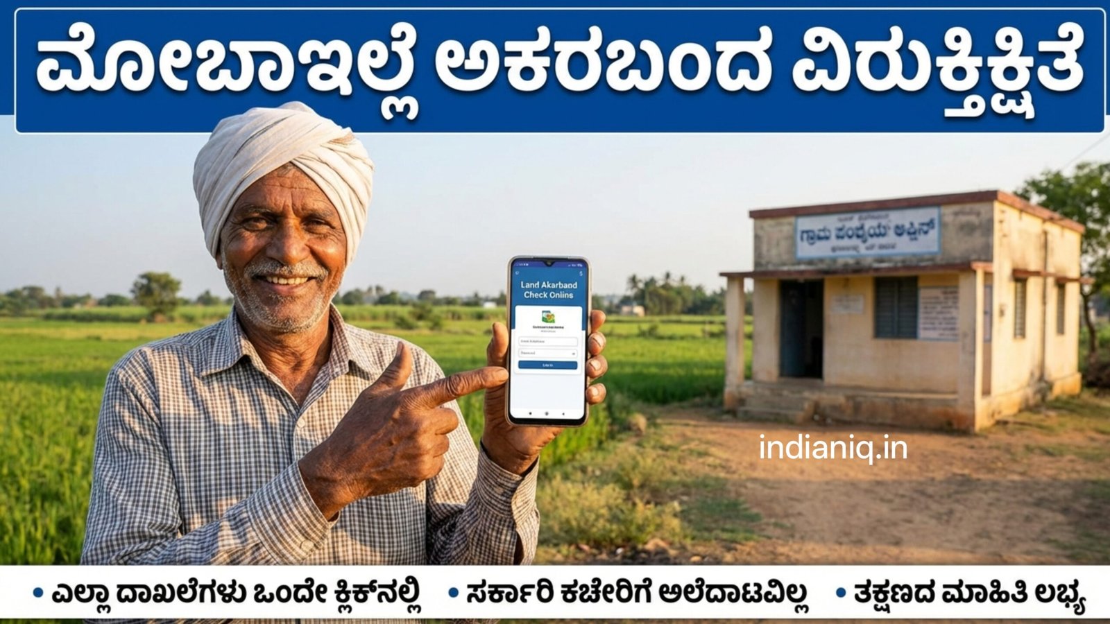
In today’s digital era, accessing land records no longer requires repeated visits to government offices. With the help of mobile phones and online portals provided by state governments, citizens can now check important land details like Akarband (Akarbandh) easily from anywhere. This digital initiative has brought transparency, convenience, and speed to land administration, especially benefiting farmers, landowners, and buyers.
What Is Akarband?
Akarband is an official land record document maintained by the Revenue Department. It provides detailed information about land measurement and classification within a village or survey area. Unlike RTC (Record of Rights, Tenancy, and Crops), which focuses on ownership and cultivation, Akarband mainly deals with exact land dimensions, boundaries, and area calculations.

Akarband records are crucial for:
- Verifying the exact extent of land
- Resolving boundary disputes
- Planning land development
- Buying or selling property
- Government surveys and infrastructure projects
Traditionally, accessing Akarband required visiting the Taluk or Revenue Office. Now, digital platforms allow users to view these records directly on their mobile phones.
Why Checking Akarband Is Important
Many land disputes arise due to incorrect measurements or unclear boundaries. Akarband helps prevent such issues by providing officially verified land dimensions. It is especially useful in rural areas where survey numbers may include multiple subdivisions.
Checking Akarband is important for:
- Farmers: To confirm land area for crop planning and subsidies
- Landowners: To ensure records match actual land holdings
- Buyers: To verify land details before purchasing
- Banks: For loan and mortgage verification
- Government schemes: Accurate land data ensures eligibility
How Mobile Access Has Made It Easier
With the launch of online land record portals, citizens can now access Akarband information using a smartphone. These portals are optimized for mobile browsers, meaning you do not need a computer or special software.
Key benefits of mobile access include:
- 24/7 availability
- No travel or waiting time
- Reduced dependency on middlemen
- Official and updated information
- Easy sharing and record keeping
Step-by-Step Process to Check Akarband Using Mobile
Although the exact portal name may vary by state, the general process remains similar.
Step 1: Open Your Mobile Browser
Use any browser such as Chrome, Firefox, or Safari on your smartphone.
Step 2: Visit the Official Land Records Website
Go to your state’s official land records portal managed by the Revenue Department.
Step 3: Select Akarband or Survey Records Option
Choose the option related to Akarband, land survey, or village maps.
Step 4: Enter Required Details
You may need to provide:
- District
- Taluk
- Hobli / Mandal
- Village
- Survey Number
Step 5: View Akarband Details
Once submitted, the Akarband record appears on your screen, showing land area, boundaries, and survey measurements.
Step 6: Download or Screenshot
You can save the record as a PDF or take a screenshot for future reference.
Information Available in Akarband Records
When you check Akarband online, you can typically see:
- Survey number and sub-division
- Total land area (in acres, guntas, or hectares)
- Boundary details
- Classification of land
- Measurement notes from survey department
These details are officially sourced and used by revenue authorities.
Common Issues and How to Handle Them
Sometimes users may face difficulties such as:
- Survey number not found
- Old records not digitized
- Server errors or slow loading
In such cases:
- Double-check spelling and survey numbers
- Try accessing during non-peak hours
- Visit the local Revenue Office if records are very old
- Use updated browsers for better compatibility
Advantages Over Offline Methods
Compared to traditional methods, mobile-based Akarband checking offers:
- Faster access
- No paperwork
- Reduced corruption
- Improved accuracy
- Greater transparency
This digital approach aligns with the government’s goal of providing citizen-centric services.
Safety and Authenticity Tips
- Always use official government websites
- Avoid third-party apps asking for personal data
- Do not pay anyone for free services
- Cross-check details with RTC or mutation records if needed
Click Here
The ability to check your land Akarband easily using a mobile phone is a major step toward digital governance and land transparency. It empowers citizens by giving them direct access to official land measurement records without unnecessary delays or expenses. Whether you are a farmer, landowner, or buyer, regularly verifying Akarband details helps protect your property rights and prevents future disputes.
As digital land record systems continue to improve, mobile access to Akarband will play an even bigger role in ensuring accuracy, trust, and ease in land management.